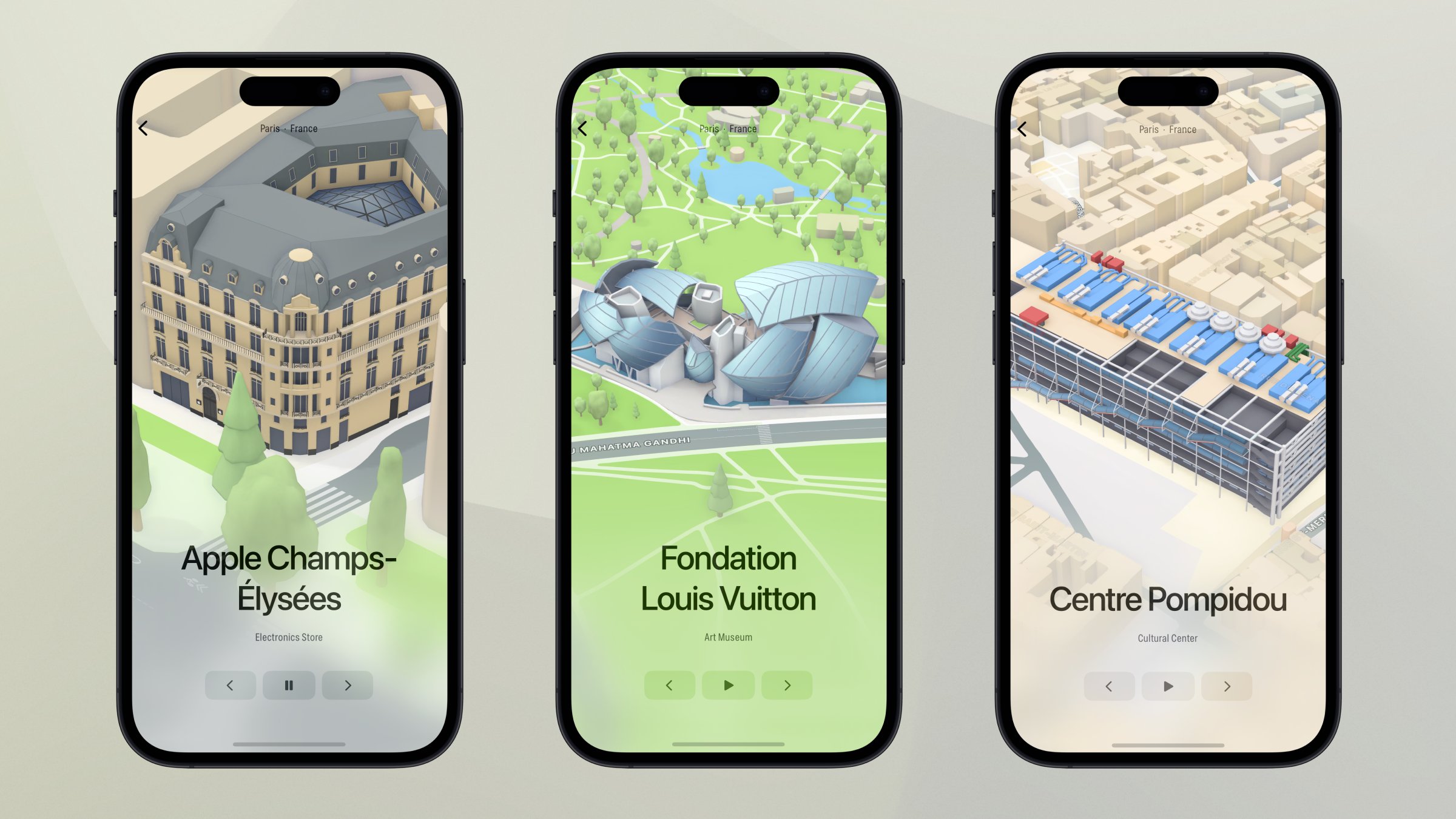
Image Credit: André Baev
Apple says the updated experience provides richer detail for road markings, buildings, commercial districts, land cover, trees, elevation, public transit routes, and more. Turn-by-turn navigation is also improved with augmented reality walking directions in Paris, as well as the addition of cycling directions along bike lanes and bike-friendly roads.
Notably, this means the world-famous Eiffel Tower can now be viewed in 3D in Apple Maps, along with the Louvre museum and other landmarks.
More detailed mapping is also available in Atlanta, Berlin, Boston, Chicago, Las Vegas, London, Los Angeles, Melbourne, Miami, Montréal, New York, Philadelphia, San Diego, San Francisco, Seattle, Sydney, Toronto, Washington D.C., and a few other cities.
Earlier this year, we highlighted an iPhone app called Landmarks that allows you to easily view hundreds of 3D models from Apple Maps.
Tag: Apple Maps
This article, "Apple Maps Expands Detailed 3D Map and Cycling Directions to Paris" first appeared on MacRumors.com
Discuss this article in our forums
source https://www.macrumors.com/2023/06/09/apple-maps-detailed-city-experience-paris/


0 Comments